
Winchcombe: gained an "e" but lost its orchards
In 1921, Winchcomb (as it was spelled then) must have been a riot of blossom at this time of year, with orchards straddling the main roads into the town and peppering the surrounding countryside.
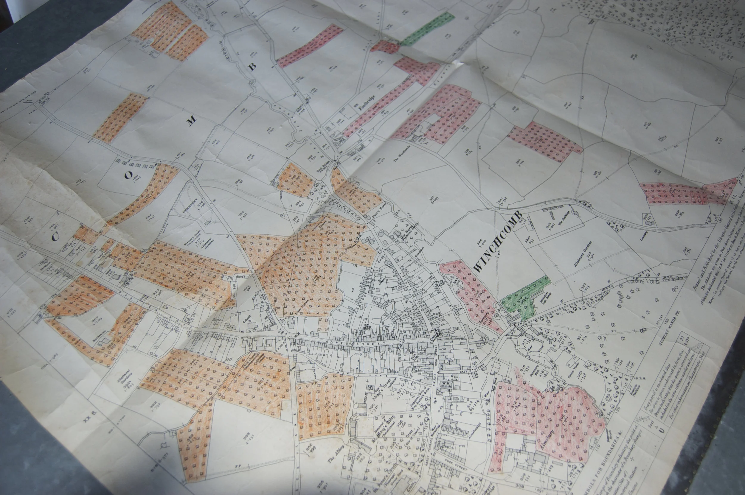
Not so now. There remain the relics of just 4 old orchards, one of which is under threat of being submerged beneath 5 Executive Style Homes (not what the Town wants or needs).
Some of this loss was inevitable; the population of Great Britain has increased by 50% since 1921, from 44 to 66 million. More people living longer need more homes in which to live and the majority of the orchards lost around Winchcomb have been lost to new housing. That’s the price of development, of change, of progress. Of course, not all the old fruit trees have been lost. Some legacy trees can still be seen in back gardens; we gather pears from one such (particularly productive) perry pear tree, from a garden in what was land parcel 375, 2.682 acres in size, to the north of the town. But isolated legacy trees have nowhere near the same visual appeal or habitat value as several or many trees gathered together in an orchard.
What’s more striking to an orchardist (which is what we call ourselves when we’re not making cider) is the loss of the orchards to the east of the River Isbourne (the only river in England, we’ve been told, that flows northwards, in that its mouth is north of its source). None of this land has been developed (yet), it’s still all farmland and open countryside and yet all the orchards, bar one, have gone. The nation’s agricultural policies in the 1960s and 1970s saw to that.
It’s this loss that partly inspired us to start making cider in the way that we do, using only unsprayed apples from gardens and traditional orchards in Gloucestershire, our home county. It’s not the easiest or the cheapest way to make cider, but it is helping to save some of the remaining traditional orchards in the county.
Local history
When and how did Winchcombe gain its “e”? Was this a deliberate decision, made by the Town Council, after a public consultation, serious debate and a formal motion, proposed, seconded and approved whilst in session? Or was this a result of a sign-writer adding an “e” by mistake when placing a new sign on the edge of town?
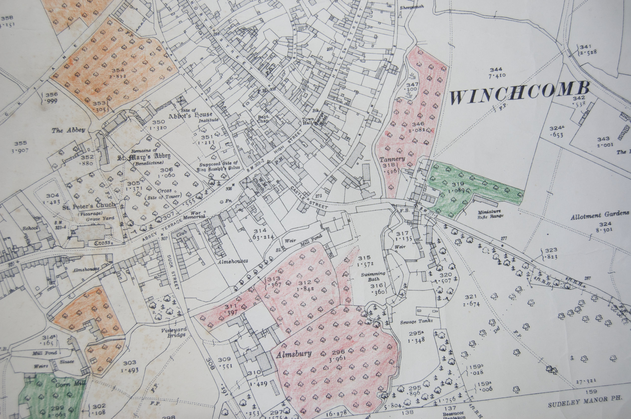
And when did Duck Street become Vineyard Street, and Chapel lane become Cowl Lane? And why? What happened to the town’s swimming baths, and outdoor affair in a meander of the Beesmore Brook (dangerously close to the sewage tanks)? With England’s propensity to record everything properly the answers, no doubt, can be found within the Town or County archives, if one had the time. We, however, have cider to make and orchards to save.
So there you have it. And if you’ve read this far, thank you.